
TUnIS Navigation MTGyro
TUnIS Navigation MTGyro is a gyro-based microtunnelling navigation system suitable for extreme curves and small diameters.
Reason why
The purpose of TUnIS Navigation MTGyro is to determine the exact position of the tunnelling machine at any time and calculate deviations from the reference alignment.
Read more
Microtunneling projects with tight curves and small diameters require a seamlessly integrated, reliable navigation system for precise steering, minimising jacking forces, and ensuring a consistently high-speed tunnel drive.
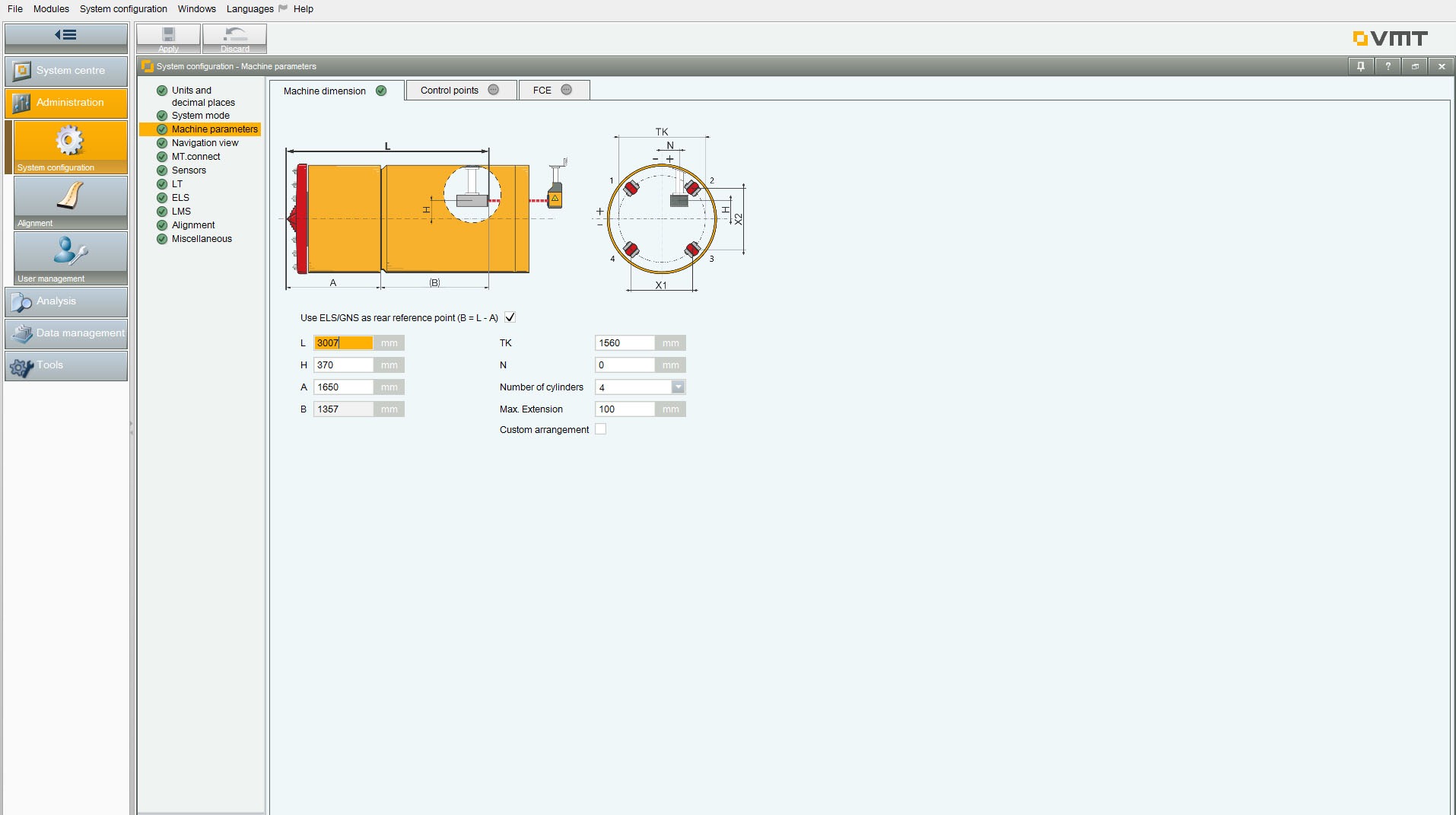
Advances with small diameters benefit from the simplified, time-saving control surveys of the all-rounder TUnIS Navigation MTGyro. Based on a Gyro compass installed within the TBM, the navigation system is versatile for tunneling from DN 800 upwards, including lorry operation. It is compact, requires no tunnel line of sight, and needs no additional installation.
Benefits
- Reduced operation cost
Through simplified, time-saving control surveys that avoid incorrect steering. - Increased operational safety
Control survey results can be uploaded and compared. This increases reliability and certainty in the interpretation and avoids large position jumps. - Quality assurance
Vertical coupled navigation offers an alternative calculation method for height determination. - Peace of mind in the control cabin
Due to the integrated correction curve, the smart error management and the same familiar TUnIS Navigation MT software interface for any microtunnelling project.
Add-Ons
Radius Monitoring is an assistant function focussing on bending radii for small diameter pipe jacking and Direct Pipe® projects.
The feature provides the machine operator with most precise data to keep the TBM within the permitted radius range. Integrated into the TUnIS Navigation MT platform, the assistance function supplements the navigation system with extensive data on the curve radius for precise tunnelling.
Benefits:
- Compliance with documentation requirements:
Radius Monitoring ensures that the documentation and the reporting meet the specifications of the customers. - Improved navigation precision:
Radius Monitoring shows the driver the radius in real-time and thus offers the possibility to optimise the precison of the steering. - Conformity with the alignment:
The automatic monitoring of the radii supports the driver to stay within the limits of the pipeline’s maximum bending radii. - Decrease in cost:
Thanks to the system the monitoring of the radii is carried out automatically. Costs for surveying personnel can be saved.
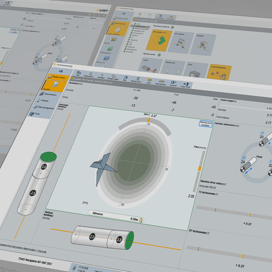
Pitch-to-Level is an assistance function that determines the vertical position of a tunneling machine based on its inclination.
The feature can be used alongside the primary height measurement method (e.g., using an electronic hose water level) and serves as a monitoring function. If necessary, it can fully compensate for the failure of the primary system.
Benefits:
- Simplified handling of gyro-based navigation systems by eliminating the need for an electronic hose water level.
- Redundant height measurement as a backup in case the primary system hose water level fails.
- Monitoring of the primary height measurement and alerts in case of irregularities.
- Software replaces hardware, minimising acquisition costs.
Contact
For more information or project inquiries do not hesitate to contact our expert.